 Revela
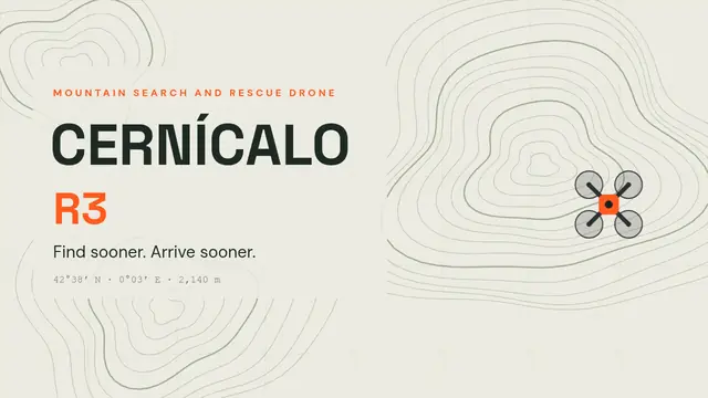
Cernícalo: mountain rescue drone
Topographic map: a flight path that draws itself as the drone follows it, NASA's 3D helicopter, thermal view, countdown, formulas and a quiz.
- 9 slides
- Free, nothing to install
- Downloads as PowerPoint
What’s inside
How to use it
- Click Use this template: it opens in Revela, in your browser. Nothing to install.
- Replace the text, images and data with your own. The speaker notes tell you what to say on each slide.
- Present it with your phone as a remote, share it with a link or download it as PowerPoint.
More in Product and technology
 Alba: sunrise alarm lampGradient sunrise: the sun rises with Morph, a 3D lamp that travels, timeline, light curve with equation, Kelvin scale and a rating
 Andén: city transitMetro signage: departures board with countdown, self-drawing map, animated trip, phone, stacked bars and fares
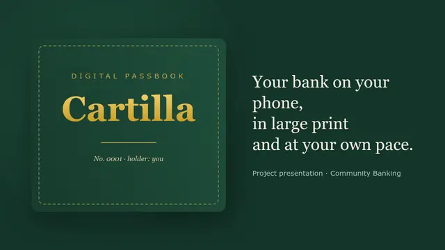 Cartilla: banking for older peopleLeather and gold savings book: gold Text Art, Morph to zoom into the phone, table with SUM, waterfall, stamp and anti-fraud quiz
 Chispa: a car for learning to codePlay mat: 3D car with Morph, cards that pop in with sound, a board the car travels across, code, quiz, steps and a doughnut chart
 Furniture collectionEditorial style: 3D sofas and chairs, Morph with different views, swing and orbit, colour swatches, tablet and budget
 SaaS platform demoDashboard in a browser window with numbered call-outs, radial, funnel, KPIs, stacked bars, step-by-step code and Q&A